The Best Routes To See Holiday Lights Near Vancouver

Three ready-optimized routes to help you visit the best Christmas light displays in the greater Vancouver metro area without spending extra time on the road.

- Choose one of three routes in greater Vancouver, the Fraser valley, or Pitt Meadows / Maple Ridge.
- Send a route directly to your phone (or save the link) to start driving.
Holiday light displays are a great way to combat the midwinter dark and cold, and visiting the best ones is a holiday tradition. But where are they?
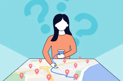
The Vancouver Sun publishes a great annual list of spectacular Christmas displays. Since route optimization is what we do every day at Routific, we thought it would be fun to publish some optimized routes so that people can see all the lights they want, while driving the shortest distance.
There are 33 addresses on the list as we write this, and they’re spread out across the Lower Mainland all the way from Vancouver to Chilliwack. That’s over 200km of driving if you want to do them all at once! So we’ve split them into three main groups:
- Vancouver to Coquitlam
- Pitt Meadows and Maple Ridge
- Delta/Surrey to Chilliwack (although there’s only one display listed in Chilliwack, so you might want to stop in Langley unless you really love road trips).
Here are all three routes on one map:

From routes to driving directions
How do you actually drive these routes? We’ve set them up in Google Maps for you!
- Click the link to open the route you want.
- Then click “Send directions to phone” or “Copy link” to get them on your phone. (I like to copy the link and save it to a note, so if anything goes wrong I don’t lose all the work).
Route 1: Vancouver to Coquitlam
**Updated to include Williams St in Burnaby thanks to a kind Redditor.

Route 2: Pitt Meadows and Maple Ridge

Route 3: Delta, Surrey and Langley

And that’s all you need!
What if I want to use a different app for driving directions?
If Google Maps is not your thing and you’d prefer an alternative like Apple Maps or Waze, you’re welcome to use our ordered stop list. The addresses are already arranged in the most efficient order, so you can just copy and paste them into your favourite navigation app. You can get them all off our Google spreadsheet — or just copy and paste from the embedded sheet below.
A note for the map geeks
You may have noticed that some of these routes have more than 10 stops – but Google Maps doesn’t allow adding new addresses after 10! So how did we do it?
There’s a nifty little tool called MoreThan10 that allows you to stitch multiple Google Maps routes together. It’s free and fabulous — one of those little acts of online generosity that restores our faith in humanity. Thank you, anonymous makers!
Frequently Asked Questions
How To Route With Multiple Stops On Google Maps

Route Planners For All Purposes: Ultimate Guide
